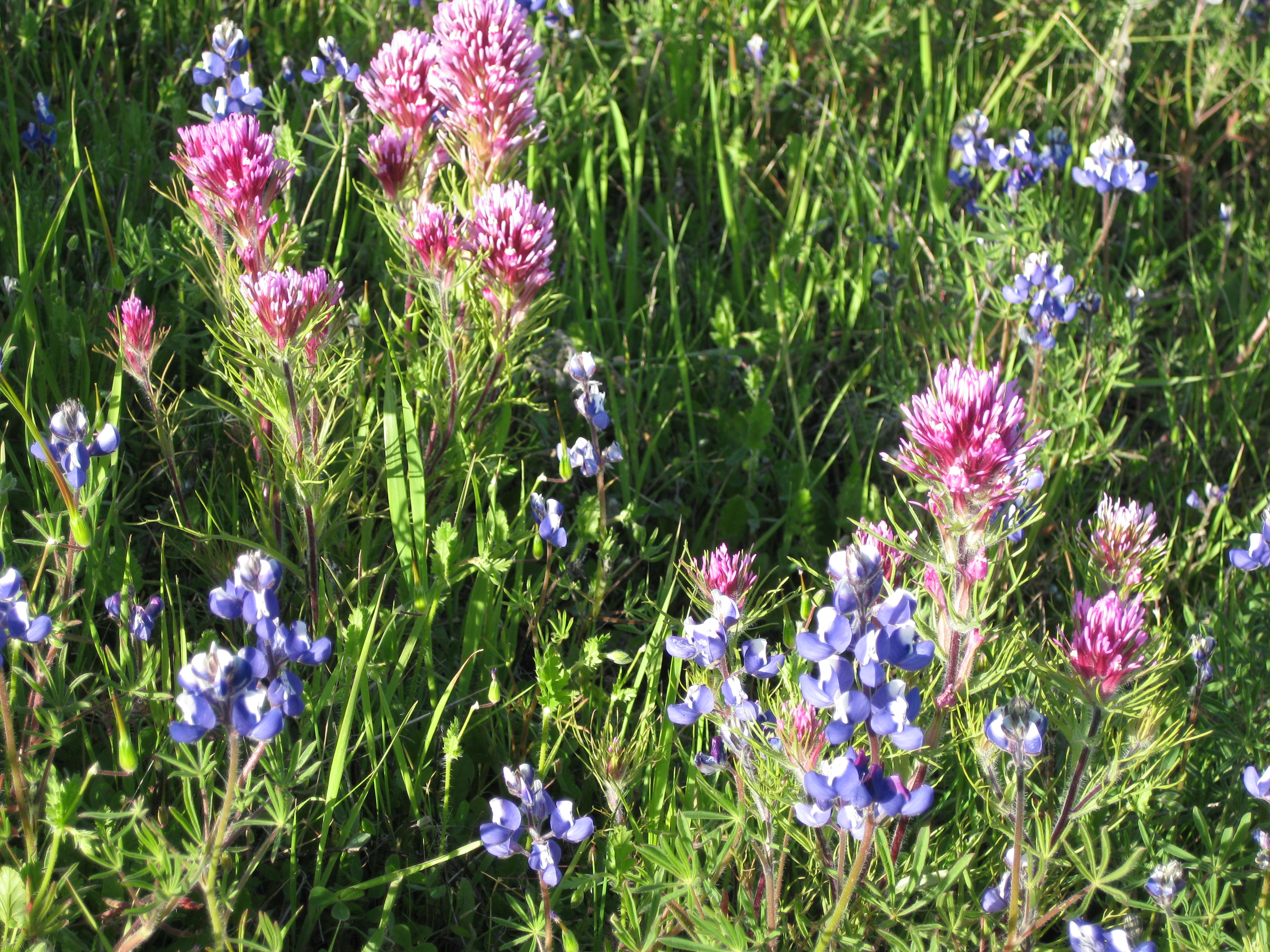
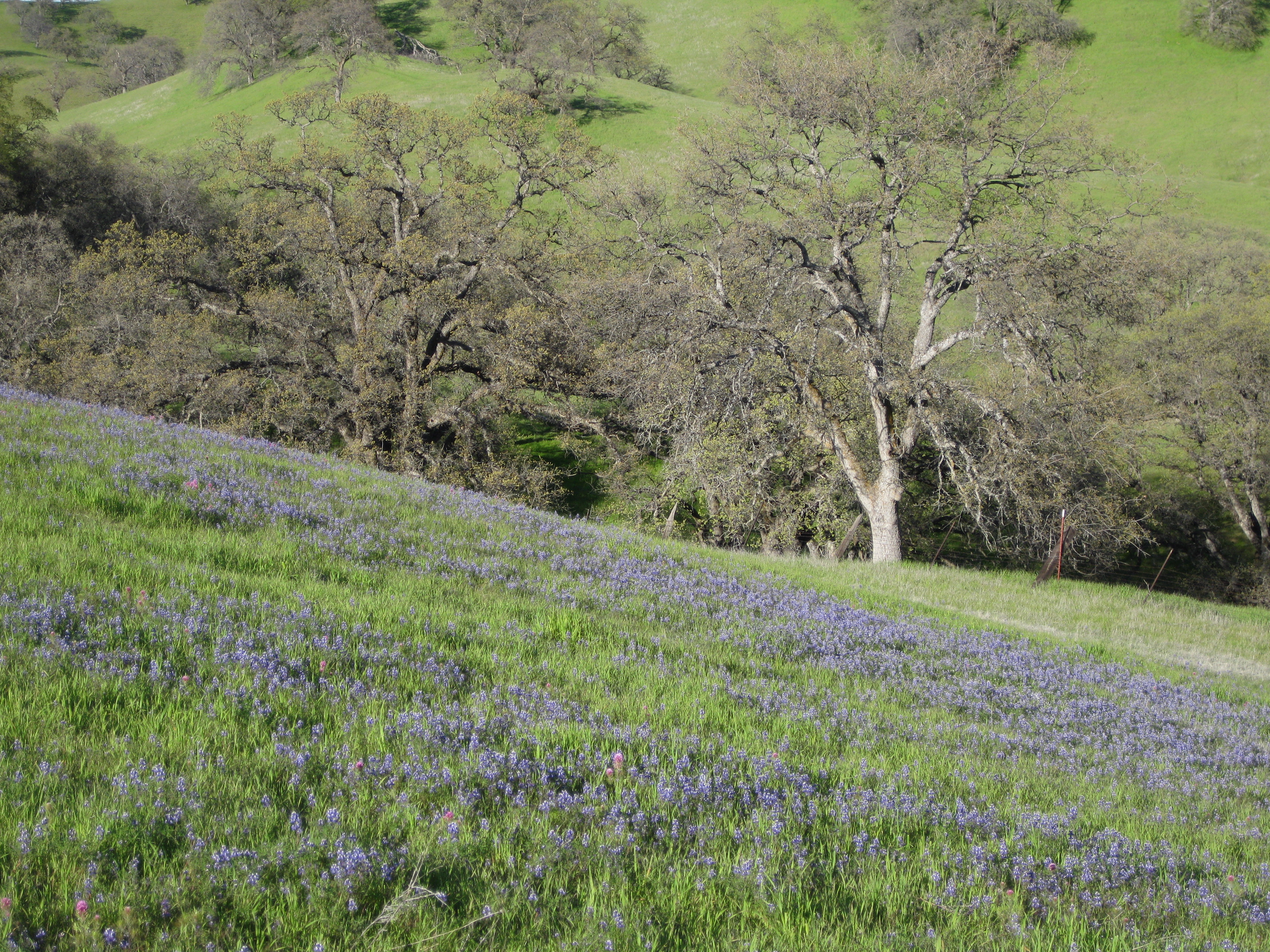
In semi-arid California grasslands, invasive weedy species such as goatgrass and medusahead can form large patches with dense litter. These patches can expand and suppress more desirable native and forage species unless managed. We developed new remote sensing approaches to map weed patch dynamics in rangelands. Counter to common expectations, we found that weeds were less prevalent in grazed areas than ungrazed ones. This result highlights the value of grazing as a weed management tool.
Read more here:
Malmstrom, C. M., H. S. Butterfield, L. Planck, C. P. Long, and V. T. Eviner. (2017) Novel fine-scale aerial mapping approach quantifies grassland weed cover dynamics and response to management. PLoS ONE 12(10):e0181665.